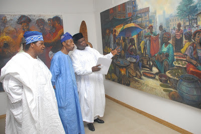


The Chief of Naval Staff (CNS) Vice Admiral Ibok Ibas on Monday disclosed that plans were underway
for the nation to commence in-house nautical charting of her waterways.

He also said that hydrographers were already receiving needed training and data were being compiled for that purpose.
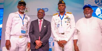
Ibas spoke at the opening of a five-day biennial conference and exhibition themed “Regional awareness on maritime geospatial knowledge,” organised by the International Hydrographic Organisation (IHO) and the Eastern Atlantic Hydrographic Commission (EIHC) held in Lagos.
According to him, the country had already completed the development of national charting scheme and built the right capacity for acquisition of hydrographic data both within the inshore and offshore waters of
Nigeria.
Appreciating the IHO for providing guidelines and standards for worldwide practice of hydrography, Ibas said its efforts have helped the nation take the rights steps.
“I am proud to state here that through your guidance, Nigeria was able to establish Maritime Safety Information facilities,which of course led to the accomplishment of phase one of the IHO’s Capacity Building Strategy.
“Through the platform provided by the IHO, Nigeria has built the right capacity for acquisition of hydrographic data both within the inshore and offshore waters, in fulfillment of phase two of capacity
building strategy of the IHO.
“On the third phase of the capacity buildingstrategy, which deals with the ability to produce nautical charts, Nigeria has developed limited capacity. At the moment, Nigeria has completed thedevelopment of National Charting Scheme and has commenced requisite training and compilation of data for production of nautical charts.
“Currently, Nigeria produces training charts, at the Nigerian Navy Hydrographic Office which are used in many maritime institutions across the country for training purposes.
“I can only ask that you do more by way of providing billets in Cartography and accreditation of our Hydrographic School in Port-Harcourt so as to consolidate on the gains achieved so far, and subsequently
give mariners better hydrographic service delivery within this sub-region.
“History has it that some years ago, Nigeria could not predict its tides neither could it produce the accompanying Tidal Prediction Tables for its ports and training charts for its Maritime Institutions; but with the steady progress made in hydrographic development, these products are now being produced in Nigeria.
“The 2019 Tidal Prediction Tables are currently on display at the exhibition stand of the Nigerian Navy Hydrographic Office,” he said.
The CNS expressed hope that the conference would provide an opportunity to renew contacts discuss problems and prospects of mutual interest as well as cover a wide range of important issues relating
to the collection, processing and dissemination of Maritime Safety Information (MSI), Marine Spatial Data Infrastructure (MSDI) and data management among others.
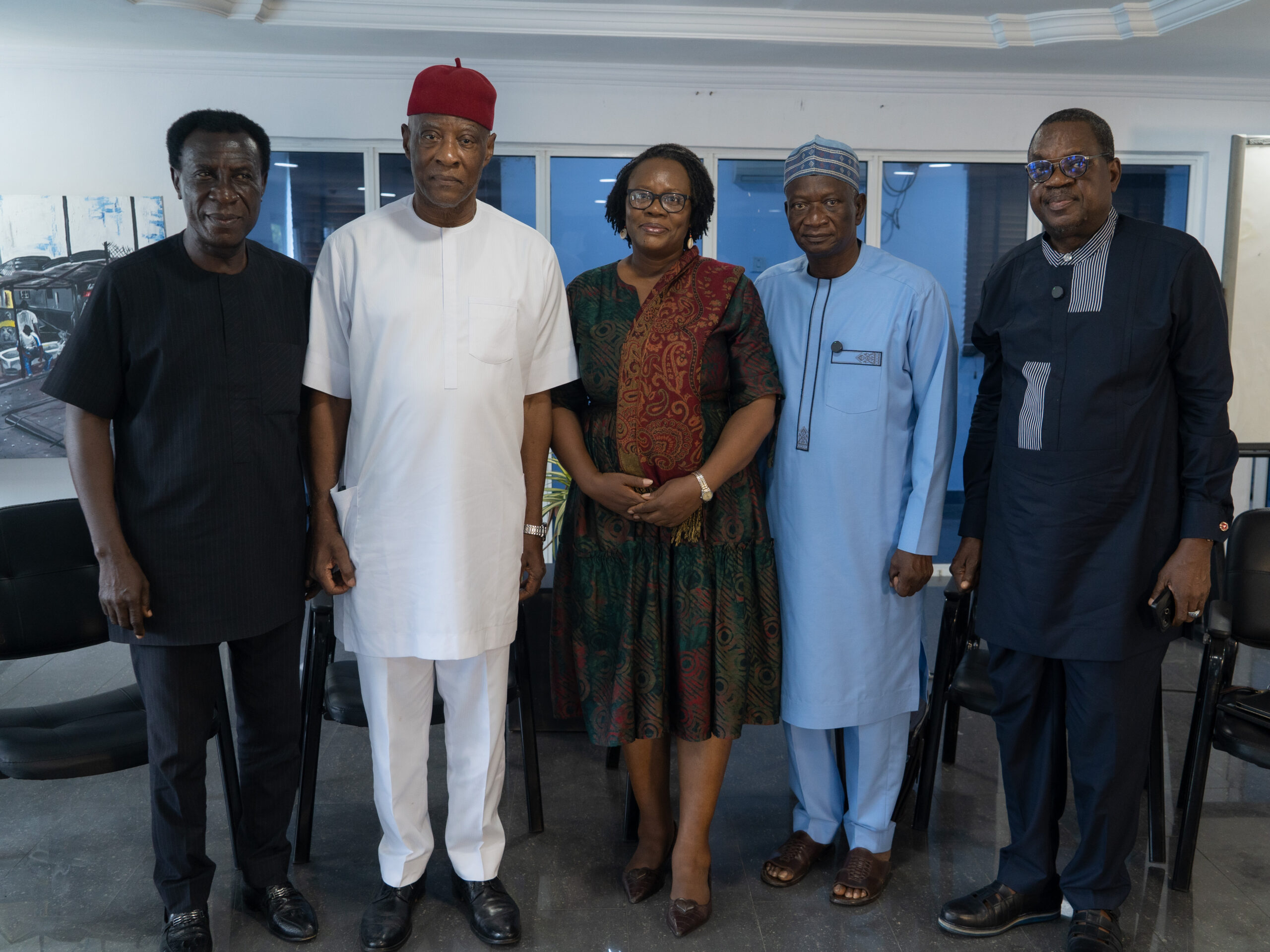
Also at the event were the Director-General Nigerian Maritime Administration and Safety Agency (NIMASA) Dakuku Peterside, Managing Director, National Inland Waterways Authority (NIWA), Sen. Olorunnimbe Mamora, representatives from Nigerian Institute of Oceanography and Marine Research, the academia, IHO, International Maritime Organization (IMO), International Association of Lighthouse Authority, United Kingdom Hydrographic Office, French National Hydrographic Office (SHOM), International Oceanographic Commission and the Chairman Eastern Atlantic Hydrographic Commission among others.
In his welcome remark, the Hydrographer of Nigeria Commodore Chukwuemeka Okafor said 22 countries were represented at the conference, highlighting the importance of hydrography.
He said: “The primary purpose of hydrography is to protect human lives at sea by facilitating safe navigation but far beyond this hydrography contributes directly to the efficiency of maritime transport by allowing voyages to be shortened. “Hydrography provides primary data essential for coastal zone management and development of ports and other coastal infrastructures.
“Hydrographic data are critical requirements for the selection of routes for submarine pipelines and cables, selection of sites for wind-farms and offshore oil and gas platforms, as well as, underwater constructions and developments.
“In today’s unending maritime boundary disputes, hydrography supports the delimitation of maritime boundaries and Blue Economy. It underpins the forecasting of the likely spread and track of oil slicks, as
part of oil spill response.”
Peterside said the event would accelerate collective reflection on matters relating to maritime safety and the need for hydrographic data.
Mamora said that inland waterways were safer than they used to be, adding that efforts were being made for more improvement.
“NIWA clearly understands the importance of geospatial knowledge in maritime operations. From geolocating the obstacles- natural or manmade to search and rescue, barge limits to horsepower requirements, other navigational safety issues to safety of the environment or threats to Inland Waterways, The Nigerian Navy and NIWA have largely co-operated and shared information in these and other areas.”
The Nation.